BalticSatApps aims to support the use of Earth Observation (EO) data and Copernicus program data in business within the Baltic Sea region. This is achieved through workshops and hackathons where EO and Copernicus program opportunities are introduced, and stronger teams are supported in implementing their ideas. Additionally, a suitable accelerator program will be developed in collaboration with partners.
Project Partners:
The project involves partners from five countries:
– Finland: Finnish Meteorological Institute
– Poland: Institute of Geodesy and Cartography
– Sweden: Swedish National Space Agency
– Estonia: Tartu Observatory, Tartu Science Park
– Russia (St. Petersburg region): Information and Analytical Centre
Network of Project Partners:
1. Organizations dealing with Copernicus program data:
– Finnish Meteorological Institute
– Swedish National Space Agency
– Tartu Observatory
– Institute of Geodesy and Cartography
– European-Russian InnoPartnership NGO
2. Research and development institutions:
– University of Turku
– Swedish National Space Agency
– Krakow University of Technology
– St. Petersburg Information and Analytical Centre
3. Business development organizations:
– Turku Science Park
– Tartu Science Park
– Krakow Technology Park
Project Implementation: The project will be conducted over a period of three years starting from October 1, 2017.
Further Details: For more information, visit the BalticSatApps project website: http://balticsatapps.eu/
Funding and Support: The project implementation is supported by the Interreg Baltic Sea Region Programme.


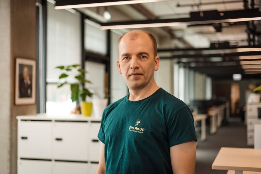
Henri Hanson
Project Manager
Email: henri.hanson@teaduspark.ee
Phone: +37253097706
Lorem ipsum dolor sit amet, consectetur adipiscing elit, sed do eiusmod tempor incididunt ut labore et dolore magna aliqua. Ut enim ad minim veniam, quis nostrud exercitation ullamco laboris nisi ut aliquip ex ea commodo consequat. Duis aute irure dolor in reprehenderit in voluptate velit esse cillum dolore eu fugiat nulla pariatur. Excepteur sint occaecat cupidatat non proident, sunt in culpa qui officia deserunt mollit anim id est laborum.